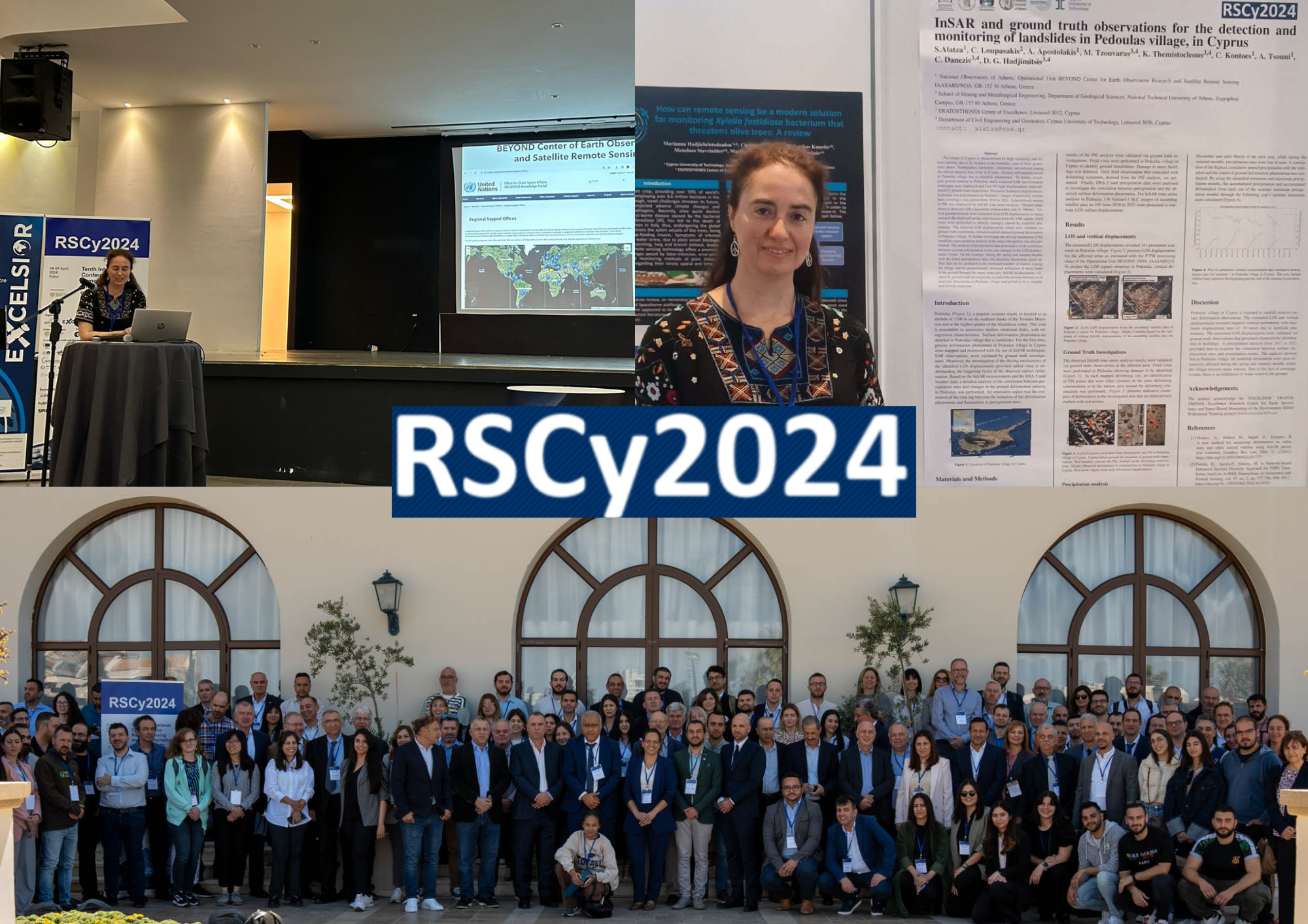
BEYOND at the 10th International Conference on Remote Sensing and Geoinformation of Environment, 8-9 April, 2024, in Cyprus
BEYOND Centre of Earth Observation Research and Satellite Remote Sensing, IAASARS/NOA participated at 10th International Conference on Remote Sensing and Geoinformation of Environment. The Conference took place in Paphos, Cyprus from 8 until 9 of April. The Conference was under the auspices of H.E. the Deputy Minister for Research, Innovation and Digital Policy.
Our Research Associate Alexia Tsouni presented the FloodHub Diachronic Mapping Service in the transboundary Evros river basin on April 8th, during the 5th Excelsior Annual Workshop entitled "AI and Big Data: Trends and Challenges" that was organized in the context of the #RSCy2024. The service that was presented is developed by BEYOND Centre in the framework of the CEOS Working Group Disasters, Flood Pilot, Subgroup #5: Balkans.
BEYOND’s oral presentation by Alexia Tsouni aroused the interest of more than 100 leading experts in the field of Remote Sensing and Geo-information community that participated physically and online.
In addition the scientific poster entitled “InSAR and ground truth observations for the detection and monitoring of landslides in Pedoulas village, in Cyprus” was presented.
Read the authors of the poster below:
InSAR and ground truth observations for the detection and monitoring of landslides in Pedoulas village, in Cyprus. Alatza, S.; Loupasakis, C.; Apostolakis, A.; Tzouvaras, M.; Themistocleous, K.; Kontoes, A.; Tsouni, C.; Danezis, C.; Hadjimitsis, D.G.
🔎More about the Conference:
https://rscy2024.cyprusremotesensing.com/
